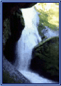


Aerial and Logistical Information of Singing Falls
In the world but not of it
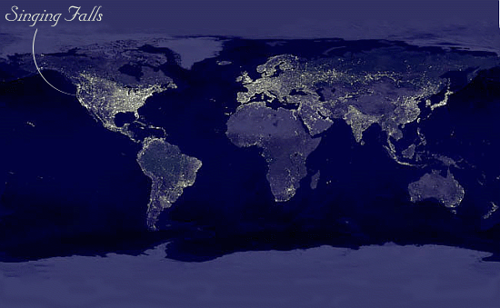
This is a true composite satellite image of the night side of planet earth. The light colored areas are the lights of contemporary civilization.
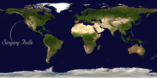
A true color flat world image and where we are in it.
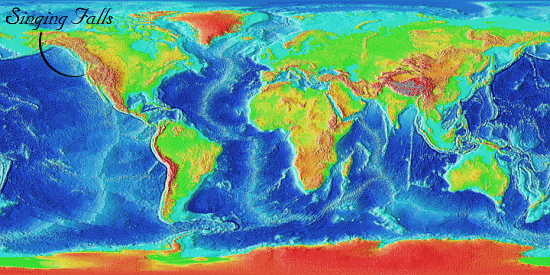
This is a satellite composite of the topographical elevations of the earth. Yellow/red is high and green/blue is lower altitude. Compared with the night imagery it can be noted that the vast majority of civilization is associates with regions of lower elevations in the earth
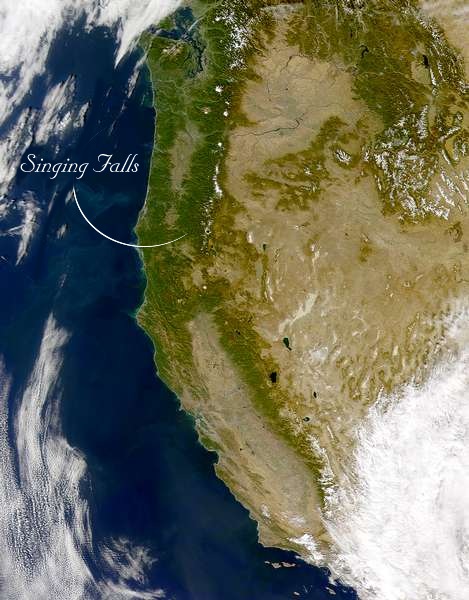
This is where we are on the West Coast of North America USA.
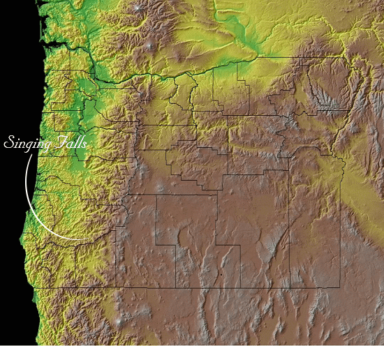
This topographical image shows the county boundaries in the state of Oregon and the contours of it's geological features
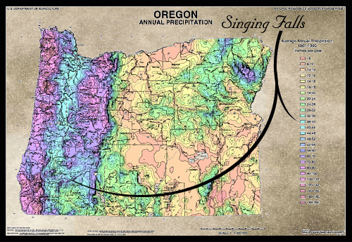
Oregon Rainfall. We average 39 inches per year but have been in a severe drought for three years now.
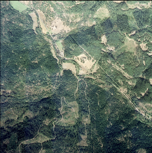
Zooming in on Singing Falls. We are located on the top middle south facing slope. The light tan colored area is our natural open meadow
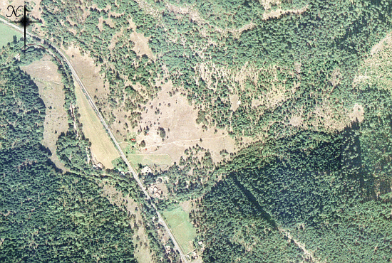
Here is a closer look. The little red dot is the roof of my humble abode.
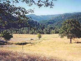
Ahhhh! Back to earth! An earth view of the open meadow during summer.

My hideout from all that covers the earth. Here is where I pray.
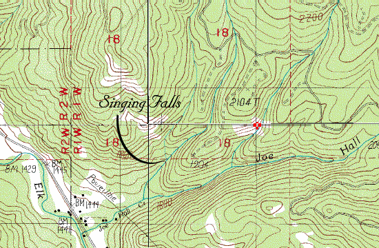
A topographical illustration showing the contrast in elevations here at Singing Falls. Looking closely you will see that it ranges from 1444 feet above sea level to 1800 feet above sea level.


